Give Your Listings a Higher Perspective
FAA-licensed drone photography that showcases properties, lots, and neighborhoods from breathtaking aerial vantage points.
5+
Aerial Photos
FAA Part 107
Certified Pilots
4,000+
Listings Shot
Quick Delivery
Next Business Day
Context that ground-level photography simply can't provide
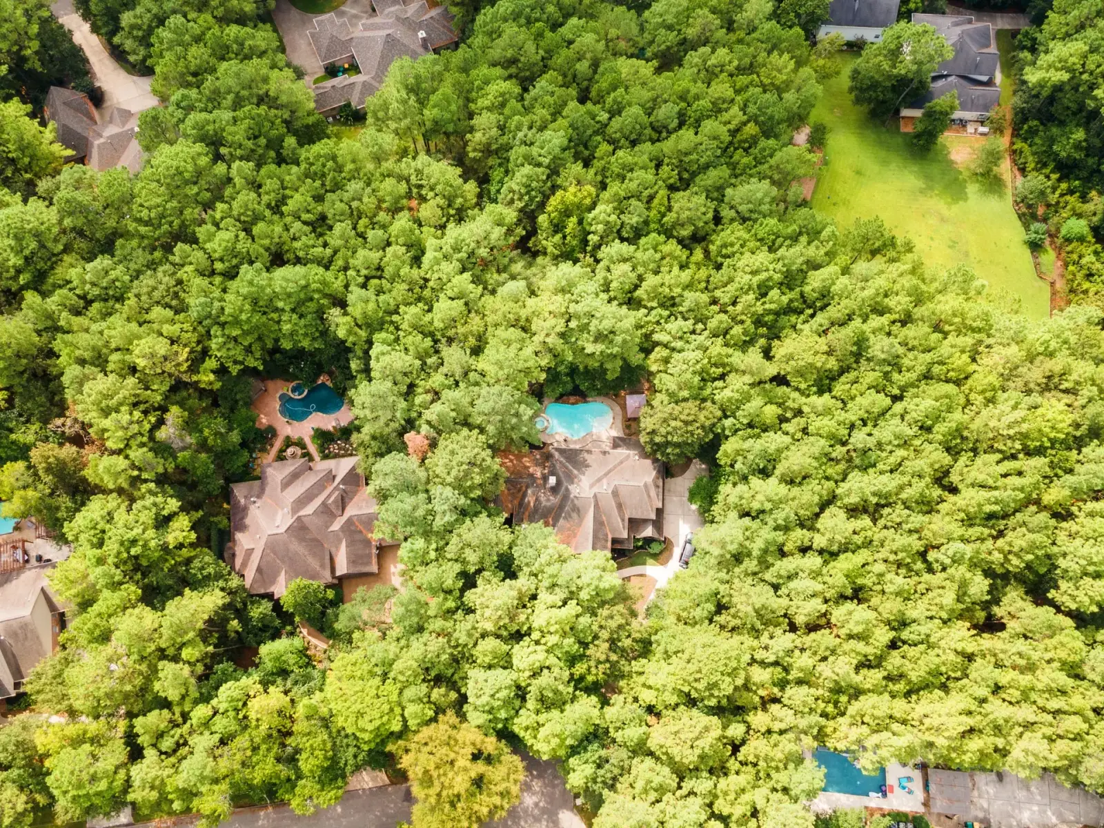
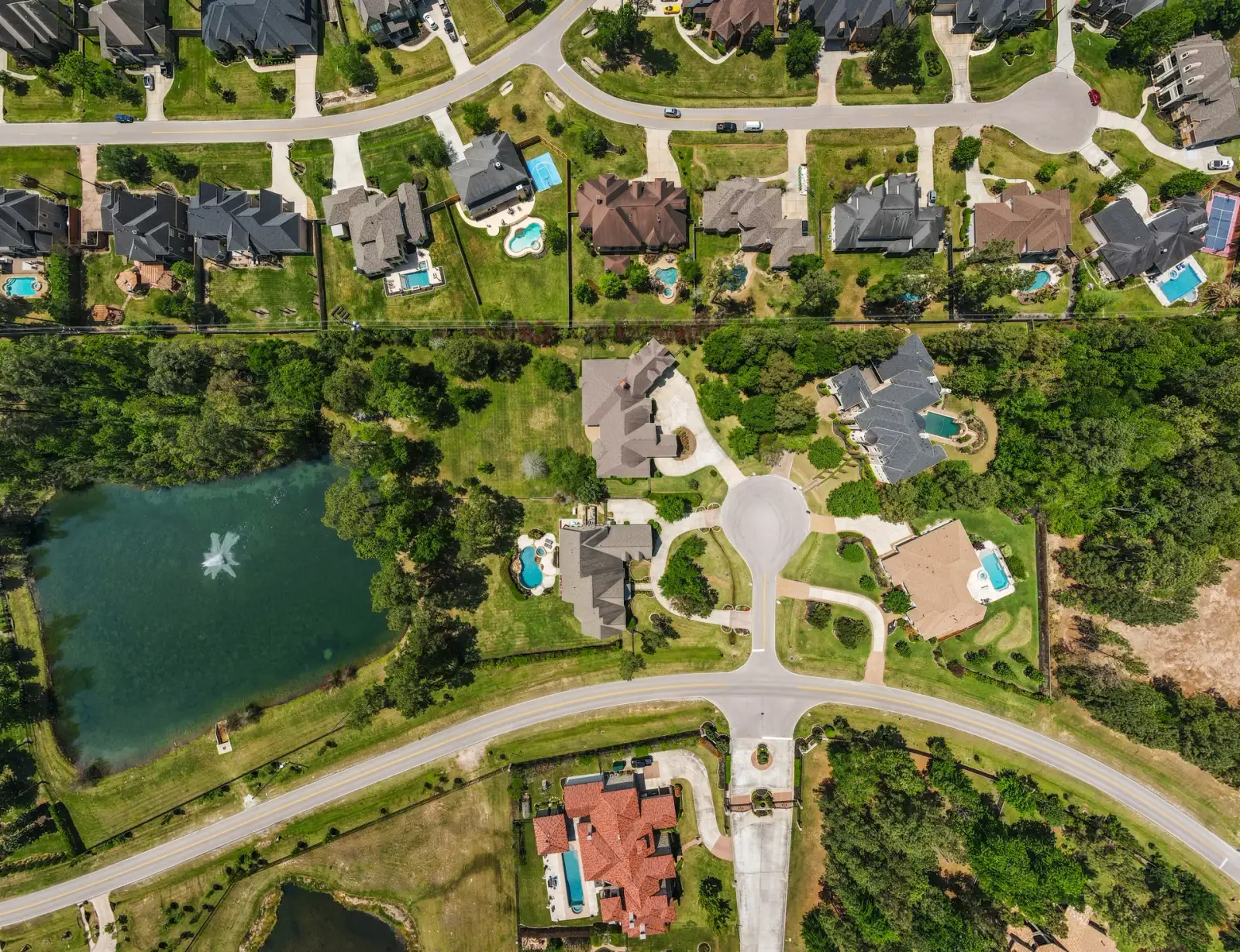
Aerial photos reveal what ground-level shots miss: how a property sits in its surroundings. It's now standard professional practice, with 52% of agents using drone photography or video. When buyers can see property boundaries, nearby amenities, and the neighborhood from above, they develop confidence in the location before they ever schedule a showing.
For properties with significant acreage, waterfront access, or proximity to parks and golf courses, aerial shots aren't just nice to have, they're essential to telling the complete story. Our FAA-licensed pilots capture the perspective that helps listings stand out in a crowded market.
Always includes:
- 5 professionally edited aerial photographs
- Multiple angles and elevations
- Property boundary context shots
- Neighborhood and surroundings overview
- High-resolution downloads
Aerial Photography Pricing
Get it seen! Bundle
Aerial Photography is included when you bundle. Get everything you need in one appointment.
- Professional HDR photography
- Matterport 3D virtual tour with one year of model hosting
- Five exterior aerial photos (for properties up to 5 acres)
- 2D floor plan with room dimensions
- Complete digital and print Marketing Kit with one year of hosting
Enhance Your Aerials
Take your aerial package further with these popular add-ons.
Marketing Kit
Customizable property website with one year of hosting, including social media reels built from your listing photos, plus social and printable assets
Area Amenities
Up to five photos of amenities or landmarks within a five-mile radius of the property
Property Outline
Editing of any single photo to visualize an approximate property boundary
Twilight Conversion
Editing of two exterior or aerial photos to simulate skies and lighting at sunset
Twilight Appointment
Schedule your photography session during golden hour to capture the natural twilight beauty of the property
Advanced Editing
Editing of any single photo to remove unwanted objects such as cars, furniture, boxes or appliances
2D Floorplan
A detailed floor plan with room dimensions is included free with every photography session, and can be added to any other appointment.
Additional Aerial Photos
Additional aerial photos (multi-photo bundle discounts available)
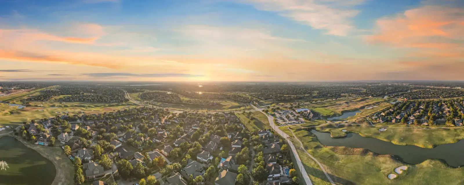
Aerial Panorama
Help buyers immediately understand location, scale, and environment, not just the property itself.
How It Works
Schedule Your Flight
Book online or by phone, including evenings and weekends. We confirm your appointment and watch the weather. If conditions aren't safe to fly, we reschedule at no charge. All our pilots are FAA Part 107 certified.
Professional Drone Capture
Our pilot arrives on time with professional-grade equipment and captures your property from multiple angles and elevations, for perspective and context that ground-level photos can't reach.
Next Business Day Delivery, Guaranteed
Your edited aerial photos arrive the next business day via secure online gallery: a minimum of 5 high-resolution images ready for MLS, web, social, and print, with full usage rights included.
See the Full Perspective
Explore a 360-degree aerial panorama and see the kind of immersive context buyers love.
Frequently Asked Questions
Yes. All of our aerial photographers hold current FAA Part 107 Remote Pilot Certificates and carry full liability insurance. We follow all FAA regulations for safe, compliant flights. Sometimes this means we must comply with restricted airspace or inclement weather, if this affects your appointment we'll work with you to find a solution.
Absolutely. Additional aerial photos are available at $10 per photo, or as a bundle of 10 for $80. Many agents add extra angles to showcase lot boundaries, community amenities, or nearby landmarks.
Some areas near airports, military bases, or restricted airspace have flight limitations. We check airspace restrictions before every shoot and will let you know if there are any limitations for your property.